Our Services
Home > Our Services
Our Services
The team consists of highly Experienced Building and Land Surveyors dedicated to delivering exceptional results with high Accuracy and Precision. We strive to provide our clients with the highest level of service . We are here to assist you with your Domestic and Commercial projects.
Please contact us today we can help you achieve your goals in budget and on time.
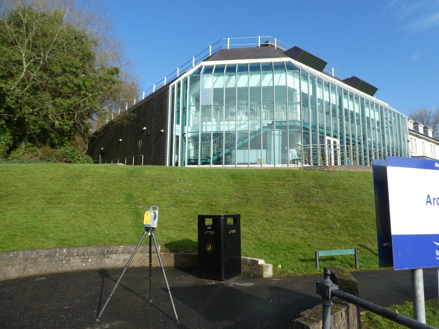
3D - SCAN to BIM
With over 20 years of experience. our services cover Residential, Retail, and Commercial projects across the UK Mainland and Ireland, including Central London and Dublin.
The workflow is continually updating with the latest survey equipment in hardware and software, resulting in significant improvements and accuracy.
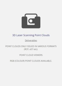
The company can provide deliverables in Revit or Sketchup for BIM 3D modelling, DWG for compatibility, depending on the client's scope requirements (contained in a BIM schedule with Level of Detail (LOD). From Pointcloud data we create a 3D model, with floor plans, elevations, and sections can be effortlessly created.
Additionally, the company can integrate underground utility survey data Ground probing Radar (GPR) and Topographical data incoporated into 3D model.
All consultants and shareholders can collaborate with the REVIT model includes architectural, M&E, structural, plumbing, and other aspects.
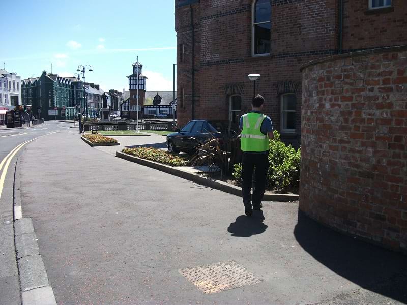
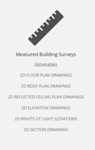
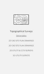
2D Measured Building Surveys & Topographical Surveys
Using the latest technology to ensure that we record existing features in accordance with the guidelines set out in "Measured Surveys of Land Buildings and Utilities 3rd Edition".
Our clients portfolio includes many Education Boards, Top Retail brands, and High-End Residential clients in Central London, among others. We have also carried out Streetscape projects in various locations across the UK. Our team is dedicated to delivering quality results and ensuring client satisfaction.
Brief list of clients Portfolio.
Education: Belfast Education and library Board portfolio (37 Schools). Western Education and library Board (16 Schools). South Eastern Education and Library Board (55 Schools). North Eastern Education and Library Board (59 Schools). South West Regional Colleges (3 Sites). North West Institute Further Higher Education (10 Sites).
Retail: Zara / Massimo Dutti / Pull & Bear / Stradivarius & ASDA.
Residential: High End Residential (Central London) for Private Clients and Architects Ilchester Place / Hans Place / Queensgate / Baker Street / Cadogan Place/ Cheyne Walk / Cheyne Place / Eccleston Square / Howick Place / Worship Street / Inverness Mews / Draycott Place / Tregunter Road Including Daylight and Sunlight Reports (Architects - London)
Streetscapes: L/derry / Strabane / Newtownards Road / Portrush / Lisburn / Downpatrick / Gilnahirk / Carryduff / Larne.
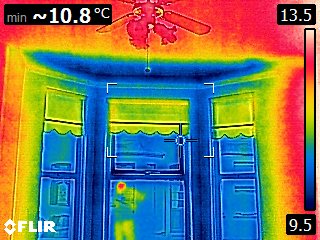
Residential Pre Purchase Inspections
Using an Holistic Approach to carry out a Standard or Comprehensive Building Survey.
We use equipment such as Thermal Imager, Electronic Damp meter, wall probes, and Hygrometer (RH %) to aid diagnosis dependent on type of survey chosen by client..
Damp and Mould issues can cause significant problems and incur high costs if not managed correctly. Our team of experts can investigate and advise clients on how to manage such issues, possibly saving them thousands of pounds on correct solutions. We can also provide less expensive solutions to mitigate Damp and Mould issues, and a second opinion can save clients money.
Our team includes CSTDB Qualified Damp and Timber Expert who are well-equipped to handle any building survey requirements. We are committed to providing accurate and reliable services to our clients. Contact us for more information on our services.
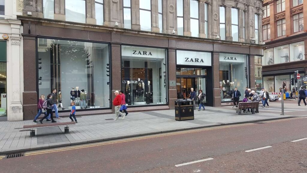
Retail & Commercial
We utilize the latest technology to capture existing structures, services, and architectural elements, all tailored to meet our clients' specific requirements. Our work adheres to the guidelines set out in the "Measured Surveys of Land Buildings and Utilities 3rd Edition", ensuring that our surveys are of the highest quality. Trust us to deliver exceptional results for your next project. Clients: Zara, Stradivarius, Pull & Bear, Massimo Dutti in Belfast and Dublin.
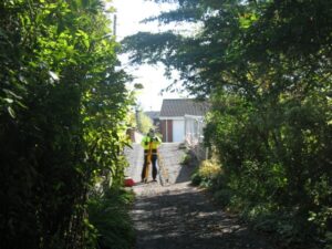
Boundary issues
We compare this with the supplied Title Deeds Map (Root of Title, Deeds Transfer – Certified) to help identify the legal boundary with relative accuracy. Our final output is a scaled Survey drawing with legal mapping overlaid, including a report if required.
We can provide legal mapping in a format acceptable to Land Registry NI if needed.
Trust us to provide you with the best Boundary Topo Surveys, backed by our years of experience and expertise.

Planning Applications & Building Control Applications
Change of Use (Use Classes Order 1987), Permitted Development, Householder Applications, Listed Building Consent, and Non-Material Change.
Our team is dedicated to providing you with the highest standard of service in these areas. Whether you are a homeowner, or business owner, we can assist you planning and building regulations.
Contact us today to discuss your needs and how we can help you achieve your goals.
Pre-purchase Building Condition Survey reports – Residential & Commercial
Damp and Timber Inspection Reports (trained Property Care Association) CSTDB
Damp and Condensation diagnosis and Air Quality Inspections
Architectural Design – Planning & Building Control Stages
Daylight & Sunlight Reports for Planning purposes.
Experts in 2D / 3D CAD Measured Surveys .
SCAN to BIM (survey scan pointcloud to 3D Model).
Land Topographical Surveys . GPS .
Boundary Dispute Surveys . Legal Mapping
Project Management
Pre-purchase Building Condition Survey reports – Residential & Commercial
Damp and Timber Inspection Reports (trained Property Care Association)
Condensation and Air Quality Inspections
Architectural Design – Planning & Building Control Stages
Daylight & Sunlight Reports for Planning purposes.
Experts in 2D / 3D CAD Measured Surveys .
Scan to BIM (pointcloud data in digital format) .
Land Topographical Surveys . GPS .
Boundary Dispute Surveys . Legal Mapping
Project Management

